
CASE STUDY
Mapping biodiversity at scale across 2,000 sites for South West Water
The UK’s Environment Act 2021 introduced a step change in how biodiversity must be measured, reported, and improved. For water companies like South West Water, this created both a challenge and an opportunity: how to baseline thousands of sites quickly, consistently, and cost-effectively—without compromising scientific accuracy.
In partnership with AiDASH, South West Water adopted a cutting-edge remote sensing solution that delivered biodiversity insight across its entire estate—covering public spaces, operational land, and designated ecological sites—at a fraction of the cost and time of traditional field surveys.
Introduction
South West Water manages a diverse portfolio of land and infrastructure spanning Cornwall, Devon, Dorset, and Somerset. Its estate includes more than 2,000 sites—ranging from reservoirs and catchments to pumping stations and heritage landscapes, some of which sit within national parks or Sites of Special Scientific Interest (SSSIs).
With new biodiversity obligations on the horizon—including proposed Outcome Delivery Incentives (ODIs) and regulatory review cycles—South West Water recognised that a consistent, organisation-wide biodiversity baseline was essential to track progress and meet future reporting requirements.
By implementing AiDASH’s satellite- and AI-powered platform—originally launched as the Intelligent Sustainability Management System (ISMS) and now known as BNGAI™—the company achieved exactly that.
THE CHALLENGE
Meeting biodiversity obligations across a large, varied estate
While the Environment Act 2021 is primarily aimed at land development, its framework for Biodiversity Net Gain (BNG) is quickly being adopted across infrastructure sectors. Water companies in particular are under growing pressure to baseline and improve biodiversity on land they manage—backed by performance commitments, regulatory incentives, and customer expectations.
For South West Water, this meant answering some urgent questions:
How do you assess biodiversity across more than 2,000 locations—from small technical sites to expansive rural holdings?
How do you ensure the same methodology can be repeated every four years, in line with regulatory cycles?
How can biodiversity data be kept current and useful, accounting for ecological change, operational shifts, and conservation actions?
How do you make this data accessible to multiple teams—for planning, compliance, and day-to-day environmental management?
The cost and complexity of manual surveys made traditional approaches unsustainable. The company needed a scalable, repeatable, and regulator-aligned solution.
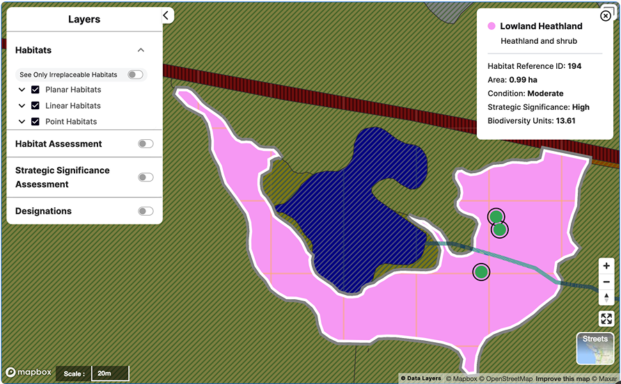
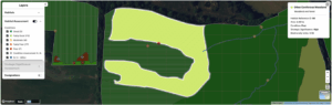
Screenshot from the BNGAI™ platform on an external project’s habitat condition assessment
THE SOLUTION
A data-first approach with remote sensing and AI
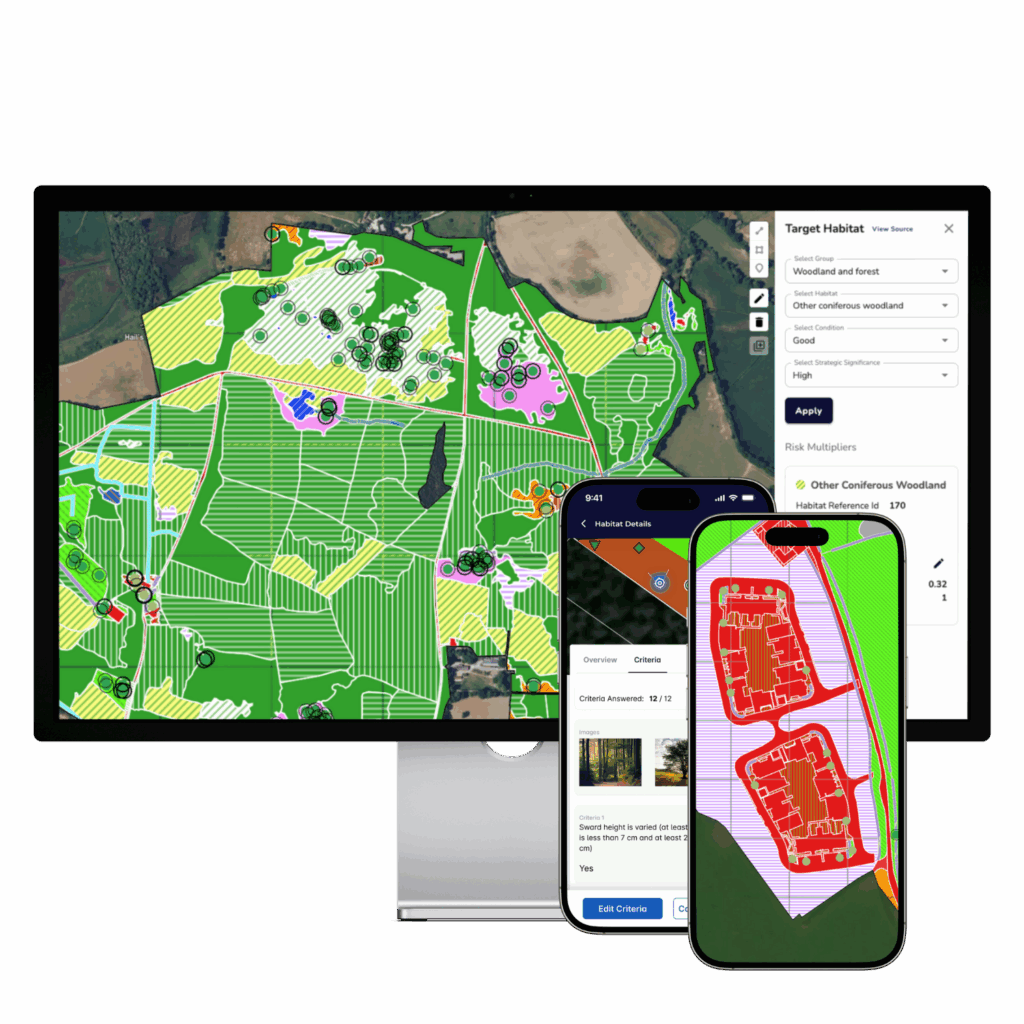
To build a robust and scalable biodiversity baseline, South West Water adopted AiDASH’s ISMS platform—the precursor to today’s BNGAI™. This platform uses a combination of 50cm resolution satellite imagery, public data layers, and AI-driven habitat classification to remotely assess biodiversity across large estates.
Rather than replacing fieldwork, the platform complements it—providing high-quality data that can guide ecologists to where validation matters most. In its first implementation, South West Water:
Analysed biodiversity across its entire landholding, using 2022 as the baseline year
Identified over 18,500 distinct habitat parcels across all sites
Applied Defra’s statutory biodiversity metric, ensuring regulatory compatibility
Created a digital repository of ecological records that can be accessed, updated, and shared across teams
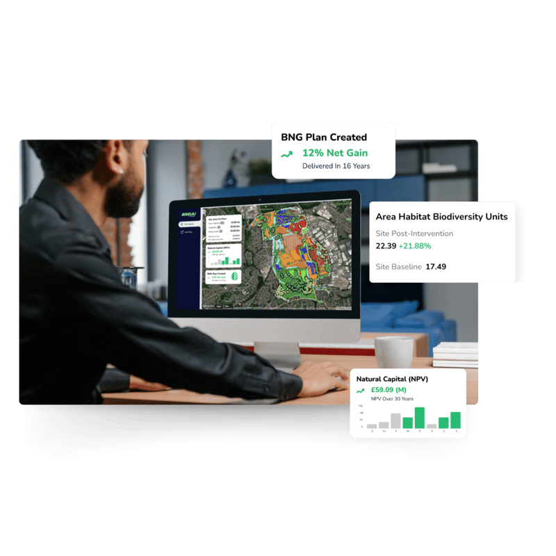
Enabled both desktop and mobile access, supporting real-time data usage in the field and the office
Integrated scenario planning, monitoring tools, and reporting capabilities to support long-term improvement and compliance
This platform created a foundation for continued biodiversity monitoring, planning, and reporting—designed to evolve alongside South West Water’s environmental commitments.
18,500
distinct habitat parcels identified
>2000
unique sites across the estate
5X
Cost reduction compared to traditional biodiversity benchmarking
The results
Estate-wide insight delivered in record time
By shifting to a remote, technology-led method, South West Water established a comprehensive biodiversity baseline across 2,000+ sites in a matter of months—all at less than 20% of the cost of traditional methods.
The data captured was not only fast—it was precise. The platform’s habitat classifications were described by the company’s internal experts as the most field-comparable results they’d seen from remote sensing to date.
Key outcomes included:
A detailed, spatially accurate biodiversity snapshot aligned with Phase 1 methodologies
A hybrid approach blending AI outputs with expert field validation
The ability to update site-level data over time—supporting adaptive land management
A platform for cross-team collaboration, from ecologists and land managers to planners and policy teams
Clear outputs to support regulatory audits, ODI reporting, and future investment planning
With the BNGAI™ platform in place, South West Water now has the ability to monitor change over time and plan with confidence for future biodiversity interventions.
South West Water’s adoption of BNGAI™ demonstrates what’s possible when technology, regulation, and ecology align. By using satellite data and AI to complement its in-house expertise, the company created a fast, cost-effective, and scientifically credible foundation for improving biodiversity across its estate.
As regulations evolve, this digital-first approach gives South West Water a lasting advantage.
Key benefits
Rapid biodiversity baseline
Mapped 2,000+ sites and 18,500 habitats in just months—ready for regulatory submission.
Cost-effective and scalable
Completed at less than 20% of the cost of traditional benchmarking.
Phase 1–level accuracy
Remote sensing results that stand up to field survey comparisons.
Future-ready reporting
Supports scenario testing, BNG improvement planning, and evidence-based audits.
Repeatable every 4 years
Built to meet ODI timelines and long-term biodiversity tracking goals.
Cross-functional integration
Data shared across teams—from ecology to strategy and compliance.
See how BNGAI™ can scale your biodiversity insight
Get a demo and explore how remote sensing and AI can support your environmental goals.