Partner Spotlight: How LANDCLAN and BNGAI Are Streamlining Site Selection and BNG Delivery
3 Sep 2025 | 5 min read
From viable land to verified uplift—all in one workflow
As Biodiversity Net Gain (BNG) continues to shape planning and development across England, developers, planners, and local authorities are under growing pressure to deliver biodiversity outcomes alongside housing, infrastructure, and economic growth.
But BNG success doesn’t start with biodiversity tools – it starts with land. Knowing where to build, what’s feasible, and which sites can support ecological uplift is the foundation of a compliant, efficient, and defensible BNG plan.
That’s why we partnered with LANDCLAN, the leading land and property data provider in the UK. Together, LANDCLAN and BNGAI™ offer a complete pathway: from identifying viable sites to delivering biodiversity outcomes that stand up to scrutiny.
Who Is LANDCLAN?
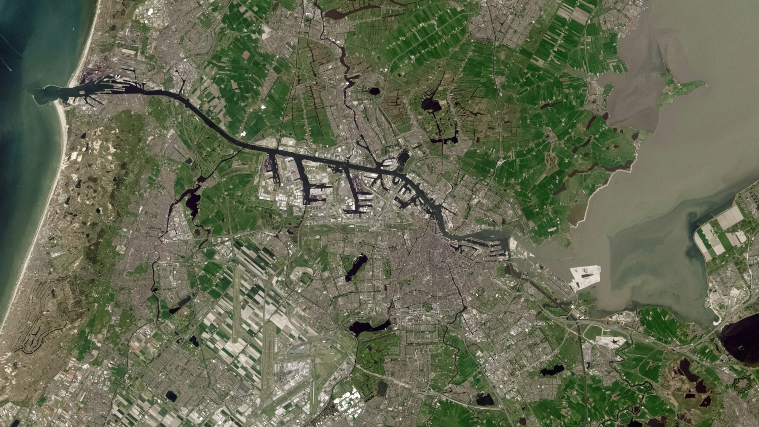
LANDCLAN is a PropTech and geospatial intelligence company providing the UK’s most comprehensive land and property dataset. With over 500 pre-processed attributes and 115 billion data points, LANDCLAN delivers parcel-level insights that help clients qualify and assess land with confidence.
Their solutions are trusted by local authorities, developers, housing providers, utilities, and consultants for its ability to bring together authoritative data sources -like HM Land Registry, Ordnance Survey, and planning authorities -and make them usable at the parcel level.
LANDCLAN’s offering combines three pillars:
-
- Data
LANDCLAN brings together authoritative datasets from Ordnance Survey, HM Land Registry, planning authorities, environmental agencies, and more. These are processed, enriched, and delivered as parcel-level intelligence, including:
- Data
-
- Boundaries and Ownership: Title information, Inspire IDs, parcel size, and registered ownership data.
- Planning Context: Local plans, land use designations, policies, and planning application histories.
- Environmental Constraints: Flood risk zones, heritage and conservation areas, habitats, protected sites, and geology layers.
- Property Attributes: UPRNs, EPC ratings, building age, height, and council tax band.
- Local Context: Access, rights of way, transport proximity, land charges, and local authority information.
All data is validated, traceable, and available via live APIs, one-off downloads, or bulk datasets- so teams can integrate insights directly into their workflows.
-
- Software
Purpose-built applications and plug-ins, developed in collaboration with property and planning experts. LANDCLAN’s tools integrate seamlessly with platforms such as ArcGIS, offering both custom and out-of-the-box solutions for site assessment and asset management - Expertise
A multidisciplinary team of GIS professionals, software engineers, and planning specialists who help organisations apply spatial intelligence to real-world challenges.
- Software
In short, LANDCLAN makes complex geospatial data clear and actionable- so that organisations can make better land decisions faster.
Why LANDCLAN Matters for BNG
BNG compliance starts with land. Before measuring biodiversity uplift, developers need to understand:
-
- Which parcels are free from major planning or environmental constraints.
- Who owns the land and whether access is feasible.
- Whether sites align with local planning priorities and development goals.
This is where LANDCLAN adds value. By providing upfront clarity on land suitability, LANDCLAN ensures that the sites progressing to BNG assessment are viable. That means fewer false starts, reduced risk, and a stronger foundation for biodiversity planning.
How LANDCLAN and BNGAI Work Together
LANDCLAN and BNGAI™ provide complementary insight across the BNG journey -helping you make smarter decisions from site appraisal through to biodiversity planning and submission.
-
- Use LANDCLAN to:
-
- Identify and qualify sites with parcel data, ownership information, and constraint mapping.
- Understand risks early, including flood zones, habitats, access, and planning restrictions.
- Shortlist only those sites with real development potential.
-
- Use BNGAI™ to:
-
- Generate baseline biodiversity instantly using satellite imagery and automated condition scoring.
- Run enhancement scenarios to test hedgerows, buffers, and habitat creation.
- Export submission-ready outputs aligned to Defra’s statutory metric.
Together, this workflow enables faster decision-making, earlier risk management, and greater confidence at every stage—from land promotion to planning submission.
Unlocking Value for Developers and Councils
By integrating LANDCLAN’s parcel intelligence with BNGAI™, development teams benefit from:
-
- Faster planning: Reduce delays by screening out unviable sites early.
- Lower risk: Avoid late-stage surprises with combined land and biodiversity insights.
- Better outcomes: Deliver projects that satisfy both economic and environmental goals.
This partnership is already helping developers and local authorities move seamlessly from “what land could we use?” to “how do we develop it responsibly?”—all in one connected process.
Learn More
-
- Explore LANDCLAN’s land and property data solutions
- See how BNGAI™ delivers fast, metric-aligned biodiversity assessments
- Contact us to learn how this partnership can support your next project
You May Like
-

-
-

-
-
Test
Blog
